
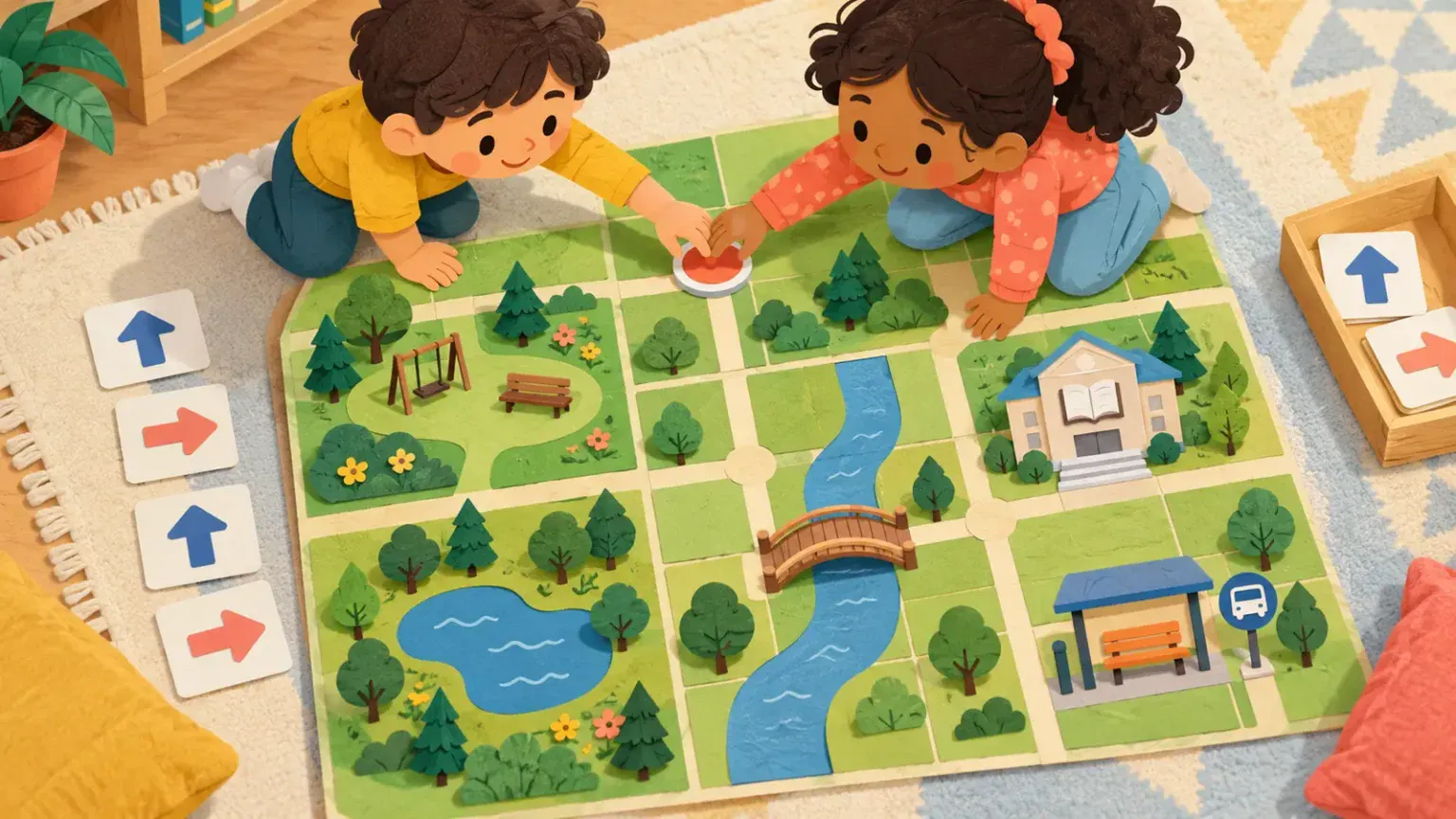
A paper map can become a route-planning puzzle without using a real neighbourhood, home or school. Draw a fictional town on a grid, add familiar landmarks and let players move a shared counter using arrow cards. The map teaches the language of routes while protecting private location information.
Several routes can be valid. One may be shortest, another quieter, and another accessible to the imaginary traveller. The game is about comparing choices, not finding the adult’s hidden answer.
Materials
- one sheet of grid paper or a hand-drawn square grid;
- pencil, marker and optional crayons;
- four large arrow cards;
- one shared counter;
- optional reusable sleeve.
Use a large counter or finger if small pieces are unsafe. A child can direct another player rather than moving the counter.
Build a fictional map
Draw six by six squares. Add a library, park, bakery, bus stop, pond and community hall. Give the town an invented name. Do not copy real street names, addresses, a child’s school route or a family’s usual travel times.
Mark clear roads between some squares and add two obstacles: roadworks, stairs, a flooded path or a noisy festival. Then add alternatives such as a ramp, bridge, crossing or quiet lane.
Create the route cards
Draw arrows for up, down, left and right. If those words are confusing from the player’s viewpoint, agree to use north, south, east and west or rotate the map so the start always faces upward. Keep one system for the round.
Add two action cards: “pause and check” and “choose another route.” These make changing a plan part of play rather than a penalty.
How to play
- Place the counter at an invented start.
- Choose a destination.
- Lay arrow cards in a proposed sequence.
- Move the counter and check each step.
- If blocked, return to the last junction and revise.
- Compare the finished route with another possible route.
For a cooperative version, players take turns adding one arrow while keeping the shared goal in mind. No player is eliminated for choosing a blocked road.
For another shared path activity, use the cooperative story-path game. The picture scavenger hunt can add observation without revealing a real route.
Adjust the challenge
For ages 6–9, use four landmarks and routes no longer than six moves. For ages 10–12, add a condition: avoid stairs, collect a library book first or use no more than eight arrows. Invite the child to justify a route using visible map information.
Use raised lines, bold contrast or tactile landmark symbols where helpful. A child can select arrows through AAC, eye gaze or partner-assisted scanning. Remove time limits and cover unused map sections to reduce visual load.
Talk about privacy directly
Say: “This map is invented. We do not put our address, school or daily route on a game sheet.” If the child wants realism, use fictional names and rearrange landmarks. Keep completed maps within the family unless everyone shown or named has consented—and ideally do not include real people at all.
Reflect without grading
Ask, “Which route had the fewest turns?” “Which route avoided stairs?” or “What information was missing?” Let the child add a bridge or crossing and test the map again.
Harvard’s executive-function resources frame games as practice for planning and flexible thinking. The American Academy of Pediatrics emphasises play and shared discovery. This map is not a test of intelligence or proof that a child is ready to navigate a real place independently.
The safest route game keeps the town fictional, the choices visible and the adult responsible for all real-world travel decisions.