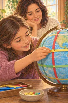

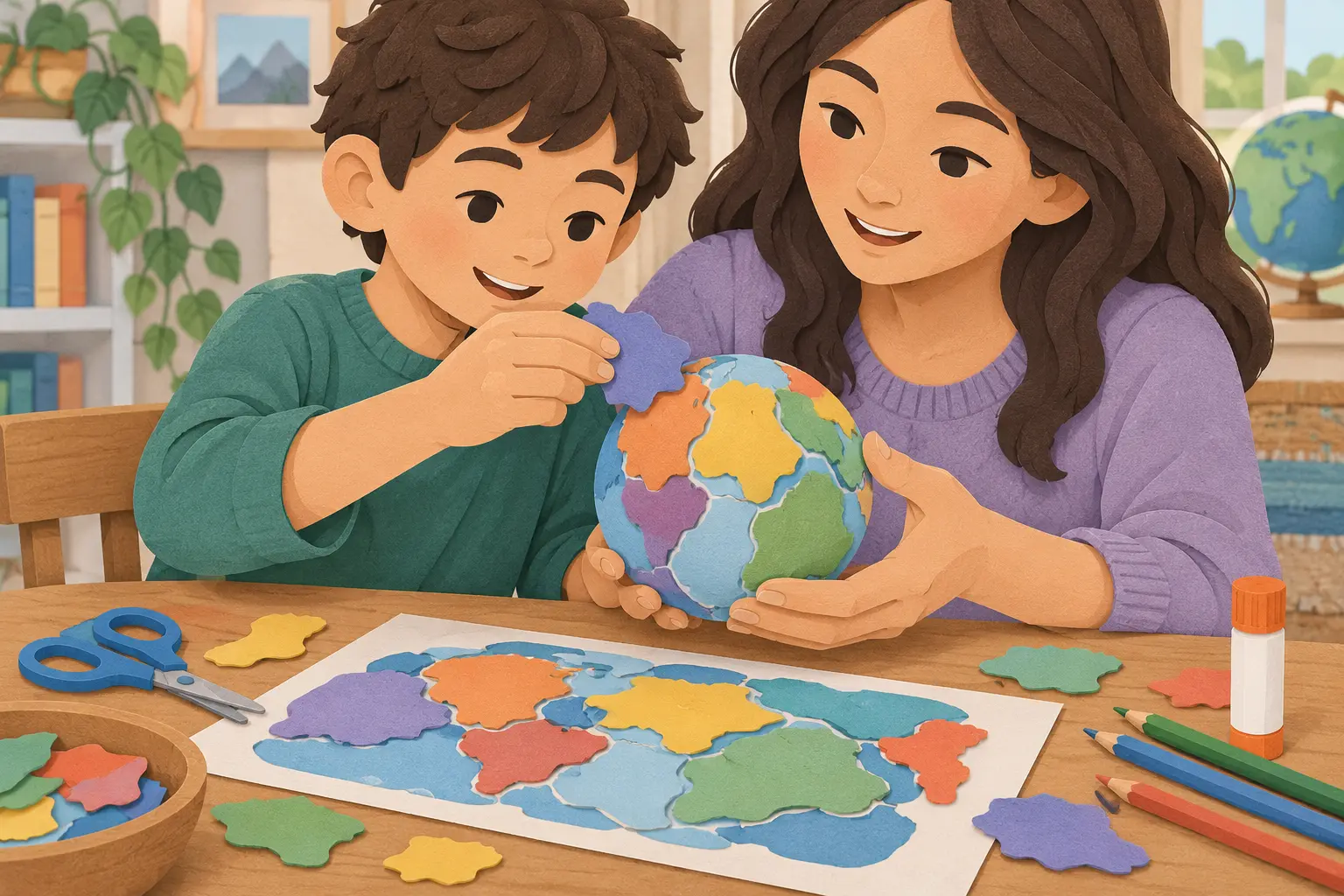
A flat world map makes Earth’s tectonic plates look easy to cut out, but the challenge changes when children try to wrap those shapes around a sphere. Gaps, overlaps and distorted edges become the most useful part of this activity: they open a conversation about why every scientific model simplifies reality.
Gather the materials
- An old tennis ball, foam craft ball or tightly scrunched paper sphere
- A printed simplified plate map from a reliable source
- Thin coloured paper, pencil, scissors and removable tape
- Marker for boundary lines
- Optional clay for showing a few landforms
An adult should supervise scissors and keep small pieces away from children who may mouth them. Do not cut a pressurised or unfamiliar ball. Use it intact as the base. If allergies or texture sensitivities matter, choose a paper or foam sphere instead.
Build the spherical model
- Look at the source map and identify several large plates. Keep the shapes broad rather than tracing every detail.
- Draw each approximate plate on coloured paper and cut it out.
- Curve one piece gently around the sphere. Notice where flat paper wrinkles.
- Tape the pieces temporarily, allowing small gaps or overlaps. Mark the approximate boundaries.
- Rotate the globe rather than trying to see the whole system at once.
Ask children to compare the result with the flat reference. Which plate was hardest to wrap? Which boundary crosses an ocean? Why can’t the shapes fit perfectly? The answer is not careless cutting: a flat sheet and a curved surface have different geometry, and the original map is itself a projection.
Explore three kinds of movement
Use two paper edges to act out simplified boundary motions. Slide them apart for a divergent boundary, push them toward one another for a convergent boundary and slide them sideways for a transform boundary. These gestures show relative movement, but avoid promising that a quick hand motion reproduces the complexity, speed or consequences of real plate processes.
Children may associate every boundary with a disaster. Clarify that plates move gradually, while earthquakes and eruptions arise from particular geological conditions. This craft cannot predict where or when an event will happen. For local hazard information, families should follow official geological and emergency services.
Adapt the investigation
- Ages 6–9: use three or four large coloured regions and focus on the sphere-versus-flat problem.
- Ages 10–12: label selected plates and compare boundary types.
- Teenagers: investigate one boundary using an official map and annotate where the model distorts scale or shape.
- Accessible option: use thick foam shapes, raised glue boundaries or verbal descriptions while a partner positions pieces.
Keep continents and plates conceptually separate. Continents sit on plates; a plate can carry both continental and oceanic crust. Rather than memorising every name, invite children to explain what the model can show: connected plates on a sphere, shared edges and relative motion.
Connect and critique
A clay hill contour map provides another example of translating three dimensions into two. A bird’s-eye room map explores viewpoint, while the water-cycle model helps compare static pieces with moving systems.
Ask each participant to name one strength and one limitation. Perhaps the globe shows continuity around Earth, but exaggerates boundary width. Perhaps colour separates plates clearly, but suggests plates are flat tiles with empty gaps. Photograph the model from several angles, then write a caption beginning, “This model helps us see…, but it cannot show…”. This distinction between evidence and representation is the most transferable part of the lesson.
Try one careful extension
Choose one well-known boundary and compare its position on the paper model, a globe and an official digital map. Do the coastlines and boundary line coincide? Often they do not. Ask why a plate boundary can cross ocean floor and why a continent is not the same thing as a plate. Record new questions without inventing answers, then look them up together in an authoritative source.