
By EdCaptain editorial desk · Published
One book names Everest as the world’s highest mountain. A video gives the title of tallest mountain to Mauna Kea. Your child wants to know which source is wrong. Before choosing a winner, check the words after the height: above sea level or from base to summit.
Everest has the highest summit above mean sea level. Mauna Kea, in Hawaiʻi, is commonly identified as the tallest mountain when measured from its base on the ocean floor to its summit. Those statements answer different questions. The useful lesson for children aged 6–12 is to ask where a measurement starts and ends.
Keep the question more precise than “which is bigger?”
Ask your child to find the exact claim, rather than remember its headline. Does it say highest, tallest, largest or something else? Is it describing a summit’s elevation, the mountain’s full base-to-top height or its volume?
Try: “We can compare these answers once we know what each one measured.” This avoids turning a good correction into “Everest is not really high” or “books cannot be trusted.” It also makes room for a source that has simply left out an important explanation.
NOAA’s mountain-height explanation distinguishes the records. Its central point is the choice of reference, rather than a competition between impressive-looking photographs.
Two starting points, two useful measurements
Height above mean sea level uses a shared sea-level reference. A mountain does not need to stand beside the ocean for its summit elevation to be described this way. Surveyors use a reference surface that can be extended through land; they are not measuring upward from whichever wave happens to pass a beach today.
For a younger child, say, “Imagine an agreed starting level that lets us compare places far apart.” Older children can explore NOAA’s explanation of the geoid, a model used as a zero-elevation reference. The real reference surface is more complex than a perfectly flat line drawn through a round planet.
Base-to-summit height starts at the mountain’s base. For Mauna Kea, much of the mountain is beneath the ocean. Measuring only the visible part above the water leaves out that submerged portion. The US Geological Survey’s Hawaiian-volcano comparison explains this difference.
Be careful with a new comparison: a summit’s elevation is not automatically the distance from the surrounding land to its top. Real mountain bases are also less neatly defined than the bottom edge of a toy block. A source should state what it means by the base.
Draw a comparison that changes the answer
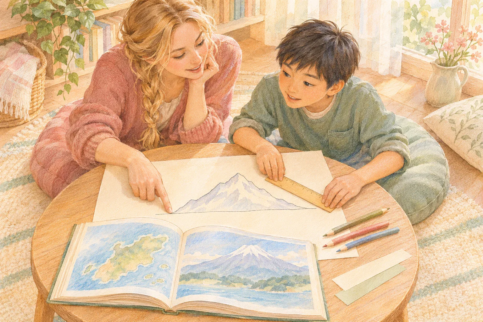
This tabletop activity uses invented bars, not real mountain measurements. You need paper, a pencil, a ruler marked in centimetres and two colours or different line patterns. Work on a flat, comfortable surface. No climbing, towers or balancing objects are needed.
- Make one reference line. Draw a horizontal line near the bottom of the page and label it zero. Leave at least 12 centimetres of space above it. This line is a simplified shared reference for the drawing, not a model of Earth’s complete sea-level surface.
- Draw bar A. Start it on the zero line and finish it 8 centimetres above that line. Mark its bottom and top clearly.
- Draw bar B. Place its bottom 6 centimetres above the same zero line and its top 12 centimetres above zero. Its own length is therefore 6 centimetres.
- Ask the first question. “Which top is higher above our zero line?” B’s top is higher: 12 centimetres compared with A’s 8 centimetres.
- Change the question. “Which bar is longer from its own bottom to its top?” A is longer: 8 centimetres, compared with B’s 6 centimetres. Trace each bar from its marked bottom before measuring.
Pause over the surprise. Nothing moved between the two questions. The answer changed because the measurement changed. The bars are not scale models of Everest and Mauna Kea, and the centimetres must not be presented as either mountain’s real height.
For ages 6–9, an adult can prepare the bars and help count the centimetre intervals. Let the child point to both starting points and finish: “B’s top is higher above zero, but A is longer from its own bottom.” If two questions are enough, stop there.
For ages 10–12, ask your child to calculate B’s length as 12 minus 6, then design another pair where one bar’s top is higher but the other bar is longer. As a variation, move A’s drawn position upward on a fresh page without changing its length: which measurement changes, and which stays the same?
Use bold lines, raised removable strips or spoken descriptions if helpful. A child can dictate the positions and direct an adult’s ruler. Measuring and explaining are separate roles, so handwriting or fine-motor difficulty need not prevent participation.
Return to the mountain claim
Make two short notes together: “Everest: highest summit above mean sea level” and “Mauna Kea: tallest when measured from its submarine base to its summit.” Then reopen the original book or video. Which note matches its question? If it gives only a number, look for the unit and reference point before comparing it with another source.
There is no need to memorise a string of exact heights. Differences between published figures can involve rounding, measurement methods or updates. If a school assignment requires a number, check a reliable dated source and carry the words describing the measurement into the answer.
An interested 10–12-year-old may find a third record in NOAA’s explanation: Chimborazo’s summit is farther from Earth’s centre than Everest’s. Earth bulges around the Equator, so distance from its centre is another measurement again. Keep this as an optional extension; it does not change Everest’s above-sea-level record.
A habit to take into the next question
Finish by asking your child to make the question complete: “Tallest measured from where?” The same care helps with the clay hill contour-map activity, where elevation labels need a reference. The Greenland-and-Africa map comparison offers another example of checking what a picture or measurement actually preserves.
Sources and further reading
- NOAA Ocean Service: Everest, Mauna Kea and different mountain-height records.
- US Geological Survey: Mauna Kea above and below the sea.
- NOAA Ocean Service: the reference surface used for elevation.
Read our editorial policy and review methodology.